Date: 14.4.2020
Arctic SDI Geoportal brings support to different projections
The Arctic SDI Geoportal joint effort aims at creating a spatial data infrastructure for the Arctic region. It’s a cooperation network of National mapping agencies in Norway, Denmark, Sweden, Finland, Iceland, Russia, Canada and USA. It’s goal is to create an easy-to-use single point access for map and other geographic data of the Arctic region from various producers.
The Arctic SDI Geoportal facilitates the discovery, visualization, evaluation, download and integration of geographic data from a variety of sources for the Arctic.
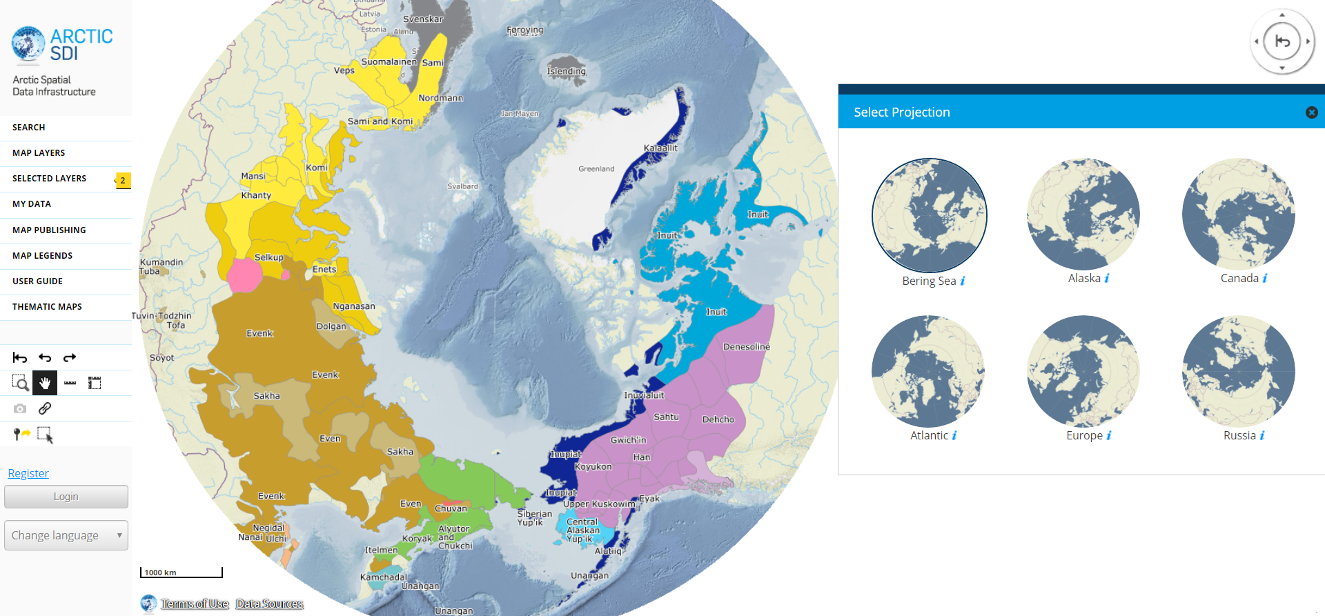
Test for example the projection support that enables user to change projections for the map service on the fly.
Arctic SDI is also a good place to test how temporal data can be viewed with Oskari. Advanced Time Series tool was initially created in the Arctic SDI project. This tool allows you to animate WMS-interfaces with temporal data. If the data allows, you can also scale the animation into smaller periods of time and stop the animation at certain time. Quite handy when visualizing change.
Familiarize yourself to the Arctic region with the Arctic SDI geoportal.
The Arctic SDI Geoportal is operated by National Land Survey of Finland in the Arctic SDI cloud environment hosted by the Norwegian Mapping Authority.