Date: 24.8.2020
Field data service (Peltodata.fi)
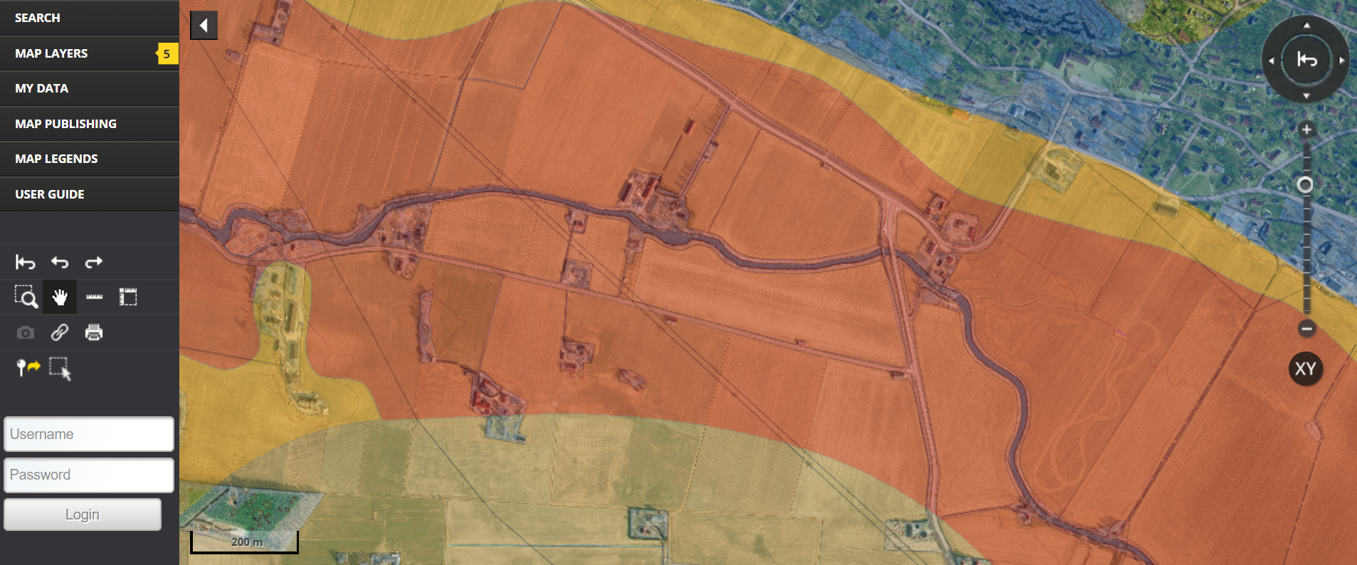
Peltodata (Field-data) is a service developed in a series of projects governed by the Pori Unit of Tampere University. In the first project they developed the methods for crop and field data collection and how to analyse and combine the data. In the second phase Oskari-map service was launched and next the idea is to use AI in the data analysis processes. The aim of the service is to provide high quality information for farmers with Oskari in order to gain better understanding on how the soil, nutrients and water balance affect the crop yields.
Oskari was selected from over hundred services
”We evaluated over a hundred different platforms for our field data service before we chose Oskari. Oskari offered us the suitable features for showcasing different map layers for our end users, the farmers. Also the user interface was probably already familiar for them, since there are quite many Oskari-based services in Finland in different fields. Also the fact that there were so many organisations involved in the development of Oskari was a major deal breaker for us,” states project manager Petri Linna from Tampere University.
The aim is to create a plugin for Peltodata-service the farmers can use to upload their own datasets to the service. After the farmer has added the needed information a python algorithm is run under the hood to analyse the data and finally the result will be shown in Oskari as a new map layer visible only to the farmer in question. In the project they have also tested AI in creating forecasts for crop yields based on data collected with drones.
Good quality data is crucial for creating forecasts for crops
”We are still continuing the development. Some of the ideas we have are dependent on accessing estate id’s and rights to use the field parcel dataset from Finnish Food Authority. We are hoping to get permission to use the dataset for the project needs, so that we can continue with our project further. Also the AI-experiments shall continue with the next project at hand called PeltoAI (FieldAI),” Linna continues.
So there is more to come! Peltodata-service is publicly available and you can browse through the public map layers. Most of the map layers are only available for registered users. Visit Peltodata-service here.
In the project Hubble Ltd was responsible for the Oskari development.
More information: Petri Linna, Tampere University