Date: 30.7.2020
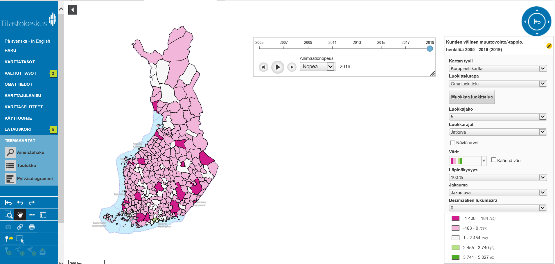
Statistics Finland's map service
All of Statistics Finland's open geospatial data sets are available in Statistics Finland's new map service (from 2018 onwards).
The data include municipality-based statistical areas, Paavo postcode areas, educational institutions, industrial and production facilities, and road traffic accidents.
As statistical data, the service includes population data by municipality-based statistical areas and statistical grids (1 km x 1 km and 5 km x 5 km). All map layers can be found as both WFS and WMS web services.
In the map service, it is also possible to make statistical thematic maps. The available statistical data behind is the Municipal Key Figures service data used via PX-Web API. In addition to thematic maps, it is also possible to view data as time series. The service also has a Download Basket function, which allows you to download geospatial data sets for yourself.
More information: Rina Tammisto Statistics Finland