Date: 15.11.2019
Suomi.fi-maps is a unique and FREE possibility for public sector organisations
Suomi.fi-maps is part of the Finnish e-services for public sector organisations. Through Suomi.fi-maps municipalities and other organisations from the public sector can provide published maps to their own web-sites utilizing good quality national geospatial datasets. The service is provided by the National Land Survey of Finland and developed together with the Population Registre Centre in Finland. Suomi.fi-maps is a Oskari based service and provides most of the Oskari core possibilities.
Finnish public sector organisations and actors performing official public regulatory roles have the possibility to utilize Suomi.fi - maps service for free. This provides for example the Finnish municipalities the possibility to create embedded maps to their own websites and gain a stack of high quality data at the same time.
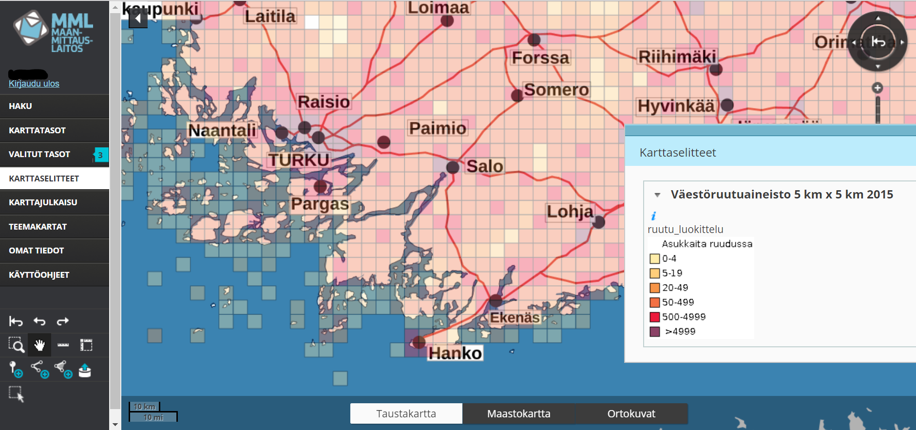
The available background maps and layers include basic data from Finland like topographical maps, cadastral borders and aerial photographs. It also offers the possibility to add users own layers to the service like own geospatial interfaces and datasets.
One of the most interesting datasets added to the service is a simplified map for visually impaired and it is essential part of improved services for the public. With Oskari API (RPC) it is also possible to tailor the Suomi.fi -maps and apply own visual look or utilize own databases.
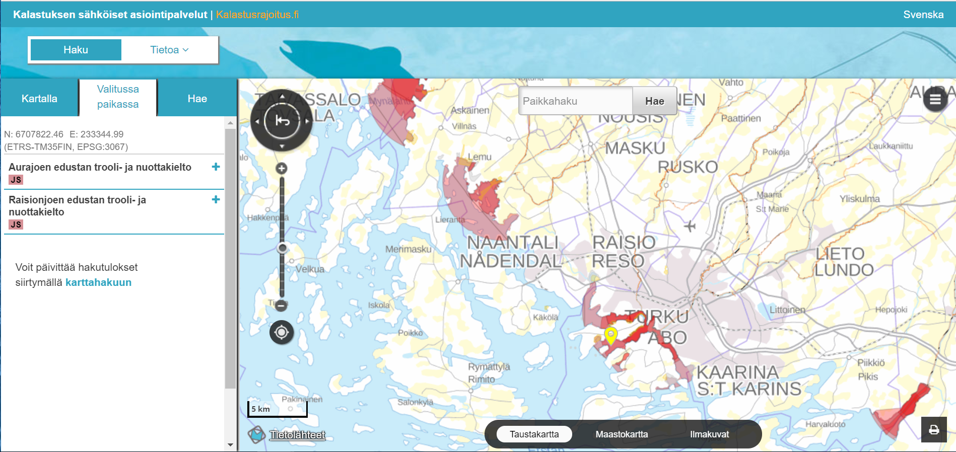
One example of this is the fishing restrictions service.
Service for service points
Teija Tarvainen, chief expert from National Land Survey of Finland, is responsible for the development and usage of Suomi.fi-maps. She tells us more about the current use of this free e-service.
“Suomi.fi-maps can be used for informing citizens and other users about different service points. At the moment Suomi.fi-maps has already 204 registered organisations”, Tarvainen reports.
You can familiarize yourself to this kind of use case with these services: Suomi.fi service points and Social insurance service points. Both show the different service places on a lightweight and easy to use map service. This embedded map is provided by Suomi.fi-maps and user organisations can tailor it with Oskari API to visually resemble the rest of the site or organisations graphical layout.
Suomi.fi-maps at your digital service
“Suomi.fi-maps can also be a part of the digital services for citizens when you need to have location information attached to a certain e-service online,” Tarvainen adds. For example [fishing restrictions] (https://kalastusrajoitus.fi/) service is one of them. Or more advanced service is NLS-FI own client service called Mapsite. Both of them again are based on the Suomi.fi-maps service.
“The future development plans include enhancing the usability of the service, adding the possibility to connect to own statistical data and creating thematic maps and adding a service point database (a national information reservoir for public sector services) as a new layer to the map service,” Tarvainen informs.
Where do you use Suomi.fi-maps?
“So Suomi.fi-maps can be a communication method for delivering information about projects happening around our living environment,” she continues.
These projects can be e.g. processes in land use planning, nature conservation schemes or cities tourism paths etc. It would be really interesting to see how Suomi.fi-maps is used in these 204 organisations!
Does your country offer you similar possibilities or have you already used Suomi.fi-maps in your own municipality or organisation, we are eager to gather all examples together! Send us an example via email: info@oskari.fi.