Date: 14.2.2019
Valkeakoski – pioneering Oskari in municipality use
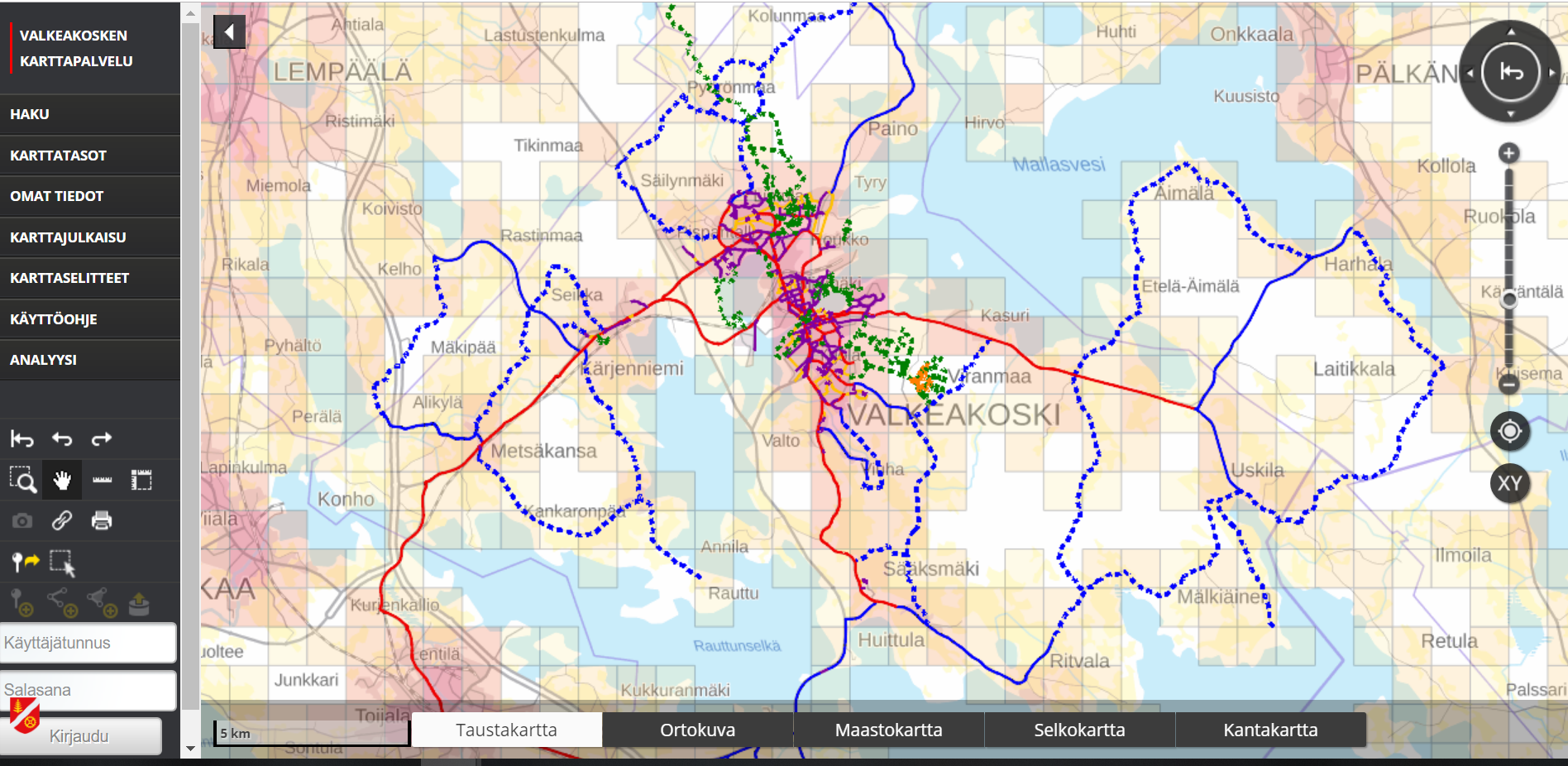
Valkeakoski is a town located 35 km south from Tampere city with little over 21 000 inhabitants. In 2018 they started to use Oskari map platform as their internal map site and now it is also available for public from https://kartat.vlk.fi/. Valkeakoski is the second municipality in Finland to start using Oskari, Tampere being the first.
We asked Kai Takkunen, GIS engineer at Valkeakoski municipality, how they ended up using Oskari and how the installation was done.
Interface was nicely familiar
“We were using Paikkatietoikkuna - the national geoportal of Finland - and an embedded map from there as our municipality map service, so the user interface was quite familiar. When we got an offer from Dimenteq Ltd, now part of Sitowise Ltd, at the right moment, we grabbed the offer. Now we can maintain the datasets our selves in comparison to other map services we were offered. We create the GIS interfaces also our selves but also utilize datasets from other services.”
“The Oskari setup we have is the “basic” Oskari installation with hierarchical layer tool in use. We only had to set up the name and address search functionality so it uses the same datasets for the search results as they use in Paikkatietoikkuna. We haven’t taken the Map Publishing tool yet in use, but we have used Paikkatietoikkuna to show e.g. our available plots. In the future they will be replaced with embedded maps from our own Oskari instance. It might be also interesting to provide maps from Valkeakoski to our NGOs and use the published maps in our municipality’s own websites and services. We would like to develop Oskari’s possibilities in visualisation of users location and configure zoom levels for location functionalities, which is handy in the field work.”
Oskari has felt good
“Oskari has felt good. Some of the minor challenges were resolved with the consultation help from Sitowise Ltd and National Land Survey of Finland. One of our request was that we wanted to have the scale in the print layouts and now it is part of Oskari installation. Oskari seemed as a good and affordable package for us and the offer came in the right place for us. And the setting up was fast.”
“We have two main user groups: inhabitants of the municipality and the employees. Our employees are using the map service to access environmental datasets, land use planning data, pipe lines and land ownership information and they have different user rights to access the relevant datasets."
"For them the possibility to view the datasets and print layouts is the most important feature Oskari has to offer. In the beginning I think the need for adding own datasets, creating analysis or thematic maps, is not so crucial. The public has access only to certain datasets and this is managed using user roles for different user groups. It has been working well”.